
Page 100 - TINA Dergi Sayi 09
P. 100
TINA
Denizcilik Arkeolojisi Dergisi
Fig. 6
The site contains at least three shipwrecks. The oth- Rivers. The seabed is usually covered with a deposit
er site is known as Mavi Kent Papaz limanı (pastor’s layer along all shores of the plain Cilicia. Therefore, it
port). previous surveys in this site revealed a ship- is not easy to detect archaeological remains which have
wreck. We explored the site, and registered the previ- been lying buried under the sandfloor.
ously unknown artefacts. Districts of Yenişehir, Akdeniz, and Tarsus: We
Kaş: The shoreline of Kaş District has been previ- conducted two scans in parallel to the coastline in these
ously surveyed, yielding many shipwrecks, anchors districts. The scanning width covered two corridors of
and artefacts. The coasts of this district is renown as 2x50 meters. No archaeological feature has been de-
a busy maritime spot for thousands of years because tected here due to the above mentioned reason. Any
of many islands and natural harbour formations in the potential archaeological remains should have been cov-
vicinity. Archaealogical treasures from different pe- ered with a layer of deposits.
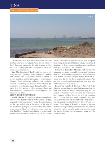
riods have been detected again during the 2017 cam- Karaduvar County of Tarsus: To the west of the
paign (Fig. 5). presence of still unexplored islands and Akgübre sewage plant, we identified presence of an an-
coastline indicate likelihood of discovering more ship- cient port which has already been filled (Fig. 6). This
wrecks in the future. ancient port seems to have lost its in-situ form due to
SurVeYS On tHe merSİn SHOreLIne both modern facilities in the site and infrastructure
Mezitli District: We conducted sonar scanning in the work. The port is situated on the mouth of a river bed.
shores deeper than three meters by the Selçuk 1 training The surface material on the land with a rich archaeo-
th
rd
ship, and in shallower areas by boats. The examination logical content are dated to the 3 BC to 5 AD cen-
on the cape and vicinity of the stream to the west of turies. The County of Karaduvar houses an harbour
the Soli pompeipolis port, which reflected forms on the anchored by large fishing boats in Mersin. We gathered
sonar equipment didn’t provide any archaeological fea- information about potential underwater remains along
ture. The Mersin Bay has been silted up by several small the Mersin shoreline during interviews made with the
creeks as well as alluvials from the Seyhan and Ceyhan fishermen here.
98